SCIENTIFIC CURRICULUM VITAE
- Personal details
|
Full name: Nguyen Thi Hong Diep |
Gender (M/F): F |
|
Date of birth: 14-07-1971 |
|
|
Educational degree (PhD, MSc): PhD |
Year obtained: 2014 |
|
Title (Prof., Assoc. Prof., etc): |
Year confered: |
|
Position: Lecturer |
Year confered: 2004 |
|
Institution & Department: Department of Land Resources, College of Environment and Natural Resources, Can Tho University, Vietnam Address: 3/2 Street, Can Tho City, Vietnam Mobile phone: 84-946-150275 E-mail: nthdiep@ctu.edu.vn |
|
|
Home address: 148/115, Hung Loi Ward, Ninh Kieu District, Can Tho City, Vietnam Tel.: |
|
II. Qualifications (training)
Years |
Academic institutions |
Major/Specialty |
Academic degree |
|
2014 |
Asian Institute of Technology (AIT), Thailand |
Remote Sensing & GIS |
PhD |
|
2005 |
Can Tho University, College of Agriculture and Applied Biology, Department of Environmental Science |
Environmental Science and Management |
MSc |
|
1994 |
Can Tho University, Vietnam, College of Aquaculture. |
Aquaculture |
BSc |
* Language (rating: A- Poor/ deficient; B- Fair; C- Sufficient; D- Fluent)
|
Language |
Reading |
Writing |
Speaking |
|
English |
C |
C |
C |
|
|
|
|
|
III. Professional working experience
Years (from ... to ...) |
Institution and address |
Position and Responsibilities |
|
2014 – present |
Can Tho University, Vietnam, Lecturer and Researcher in Department of Land Resources. |
Research in the field of Remote sensing and GIS, coastal resources, ecosystem service and environment management. |
|
2009 - 2014 |
Asian Institute of Technology (AIT), Thailand |
PhD researcher. Research in the field of coastal ecology, carrying capacity and site suitability assessment for aquaculture using geospatial analysis. |
|
2004 - 2009 |
Can Tho University, Vietnam, College of Agriculture and Applied Biology, Department of Soil Science and Land Management |
Lecturer in the field of remote sensing and GIS, Geostatistic in Environment, Coastal Management, Environmental Impact Assessment. Supervision of undergraduate students in the field of remote sensing applications, GIS, land management, environment assessment |
|
1991 – 2004 |
Can Tho University, Vietnam, College of Agriculture and Applied Biology, Department of Soil Science and Land Management |
Teaching assistant in the field of GIS |
|
1996 – 1999 |
Can Tho University, Vietnam, College of Agriculture and Applied Biology, Department of Soil Science and Land Management |
Researcher in the field of GIS |
- Expertise and research interests
|
1. Research projects/programs participating or leading relevant to the field of study |
|||
|
Project/program title |
Duration (from… to…) |
Category (national, ministerial, institutional, Int'l collaborative) |
Position/role in the project (principal or member) |
|
Applied the Low resolution Remote Sensing to determine the distribution and biomass estimation on the coastal mangrove species in Mekong Delta, Vietnam |
2015-2016 |
Institutional collaborative |
Principal |
|
Impact Assessment of Climate Change on Aquaculture/ Fisheries Household Livelihood in the Lower Mekong Delta, Vietnam |
2015-2016 |
Int'l collaborative |
Principal |
|
Assessing the Fertile Potential and Obstacles Factors on Cultivated Soil of Rice and Fruit Trees in Hau Giang Province |
2008-2009 |
Provincial collaborative |
Member |
|
Application of GIS technology to develop data management system for assessing state and warned of agricultural pests in the Mekong Delta |
2005-2008 |
Provincial collaborative |
Member |
|
Assessments the Society and Economics in Hau Giang Province |
2005-2007 |
Provincial collaborative |
Member |
|
Assessment methods arsenic contaminated distribution (As) in groundwater using GIS techniques |
2004-2005 |
Institutional collaborative |
Principal |
|
Developing database management system for management and assessment of environmental resources in Soc Trang province |
2002-2004 |
Provincial collaborative |
Member |
- List of publications (listed as reference format)
- a) Book chapters
- b) Articles
- Q Minh, V.T. Anh, M. Tromp, P.T.T. Hoa, N.T.H Diep, and D.V Tho. 1998. Mekong Delta Mangrove forest changes over the last 5 year by means of remote sensing. Proceeding of an International Workshop on “the rehabilitation of degraded coastal systems”. Phuket Marine Biological Center. Department of Fisheries Phuket-Thailand. 19-24 Jan 1998. pages : 69- 72
- Vo Quang Minh, Pham Van Quang, Nguyen Thi Hong Diep, Huynh Thi Thu Huong, Tran Van Hung, Tran Thi Ngoc Trinh, Nguyen Van Phu. Geographic Information System GIS in land use planning, Environment, Natural resource management – Development Strategy. Paper presented in 2001 Annual report. Cantho University. Cantho, Vietnam
- Vo Quang Minh. Nguyen Thi Hong Diep. Application of SPOT quicklook satellite images to identify and delineate the changing of land uses in the coastal zone of Camau peninsula, Vietnam. Procecding ACRS2005, The 26th Asian conference on remote sensing. 7-11 November 2005. Hanoi, Vietnam.
- Vo Quang Minh, Nguyen Thi Hong Diep, Vo Thi Guong. 2007. Using remote sensing for evaluating the change of peat swamp forest in the Mekong delta, Vietnam. In: Proceedings of the International Symposium and Workshop on Tropical Peatland, Yogyakarta, 27-29 August 2007-Carbon-climate-human interactions on tropical peatland: carbon pools, fire, mitigation, restoration and wise use. ISBN 978-1-870474-34-4. Department of Geography, University of Leicester, United Kingdom
- Phan Kieu Diem, Nguyen Thi Hong Diep, Vo Quang Minh. 2010. The statement of calamity and disaster in mekong delta, Vietnam. 3rd International Conference on Geoinformation Technology for Natural Disaster Managerment and Rehabilitation, 19-20 October 2010, The Empress Hotel, Chaingmai, Thailan.
- Vo Quang Minh, Huynh Thi Thu Huong, Nguyen Thi Hong Diep. 2012. Monitoring and Delineating Rice Cropping Calendar in the Mekong delta Using MODIS images. Proceedings of International Symposium on GeoInformatics for Spatial-Infrastructure Development in Earth and Allied Sciences. Pages 150-156. Hochiming City, Vietnam, 16-20 October, 2012.
- Nguyen Thi Hong Diep, Nitin Kumar Tripathi, Wenresti G. Gallardo and Taravudh Tipdecho. 2013. Coastal Ecology Changes and Aquaculture Management in Phu Quoc Island, Vietnam (2006-2011). Proceedings of International Symposium on GeoInformatics for Spatial-Infrastructure Development in Earth and Allied Sciences. Pages 193-198. Hochiminh City, Vietnam, 16-20 October, 2012.
- Nguyen Thi Hong Diep; Wenresti Glino Gallardo; Nitin Kumar Tripathi; Truong Hoang Minh. 2013. Cobia cage culture distribution mapping and carrying capacity assessment in Phu Quoc, Kien Giang province. Journal of Vietnamese Environment, 2013, Vol. 4, No. 1, pp. 12-19. ISSN 2193-6471
- Phan Kieu Diem, Vo Quang Minh, Nguyen Thi Hong Diep, Duong Thanh Thoai. 2013. Monitoring the shoreline change Ngoc Hien district, Ca Mau Province from 1995 to 2010 by using remote sensing and GIS. Proceeding 9thInternational conference on Gi4DM 2013, Earth observation for disaster management. Hanoi, Vietnam from 9-11 December, 2013. Số tạp chí ISBN: 978-604-913-173-8(2013), TS08-3 page 1-10
- Nguyen Thi Hong Diep, Nitin Kumar Tripathi, Wenresti G. Gallardo and Vo Quang Minh, 2013. Carrying capacity and site suitability assessment for Cobia fish culure in the Northern part of Phu quoc Island, Vietnam. Proceeding 9thInternational conference on Gi4DM 2013, Earth observation for disaster management. Hanoi, Vietnam from 9-11 December, 2013. ISBN: 978-604-913-173-8(2013), TS05-4, page 1-10
- Nguyen Thi Hong Diep, Nitin Kumar Tripathi, Wenresti G. Gallardo & Taravudh Tipdecho. Coastal and marine ecological changes and fish cage culture development in Phu Quoc, Vietnam (2001 to 2011). Journal of Geocarto International. Volume 29, 2014 - Issue 5, page 486 – 506. ISSN 1010-6049.
- Phan Kieu Diem, Vo Quang Minh, Nguyen Thị Hong Diep. Assessment trend of inundation and salinity intrusion in coastal zone, Mekong Delta through climate change scenarios. The 36th Asian conference on Remote Sensing. October 19-23, 2015. Manila, Philippine.
- Nguyen Thi Hong Diep, Vo Quang Minh, Phan Kieu Diem. Assessment of the vulnerable area of climate change impacts on coastal region of Mekong Delta using geographic information system technique. The 36th Asian conference on Remote Sensing. October 19-23, 2015. Manila, Philippine. ISBN:9781510817210
- Ho Huu Loc, Nguyen Thi Hong Diep, Nguyen Trong Can, Kim N. Irvine,
Yoshihisa Shimizu. 2017. Integrated evaluation of Ecosystem Services in Prawn-Rice rotational crops, Vietnam. Ecosystem Services Journal. April 2016. http://dx.doi.org/10.1016/j.ecoser .2016.04.007. 2212-0416/& 2016 Elsevier B.V. Volume 26, Part B, August 2017, Pages 377-387. - Ho Huu Loc, Kim N. Irvine, Nguyen Thi Hong Diep, Nguyen Thi Kim Quyen,
Nguyen Ngoc Tue, Yoshihisa Shimizu. 2016. The legal aspects of Ecosystem Services in agricultural land pricing, some implications from a case study in Vietnam's Mekong Delta. Ecosystem Services Journal. http://dx.doi.org/10.1016/j.ecoser.2016.11.019. 2212-0416/ © 2016 Elsevier B.V. Article in press. - Nguyen Trong Can, Nguyen Thi Hong Diep, and Ho Huu Loc. 2016. “Exploratory Assessment of Prawn-Rice Rotational Crops Spatial Distribution and Ecosystem Services Values.” In The 37th Asian Conference on Remote Sensing. “Promoting Spatial Data Infrastructure for Sustainable Economic Development.” in Sri Lanka. pp 301-350.
- Can Tho University Hosts Kasetsart Students for Environmental Engineering Internship Program
- Sediment properties in flood-based farming systems in the Vietnamese upstream Mekong Delta
- Feasibility evaluation of using cattle manure for biogas production: A case study under household conditions in the Vietnamese Mekong Delta
- Awarding a Certificate of Appreciation of Can Tho University to Dr. Taro Izumi, Japan International Center for Agricultural Sciences (JIRCAS), Japan
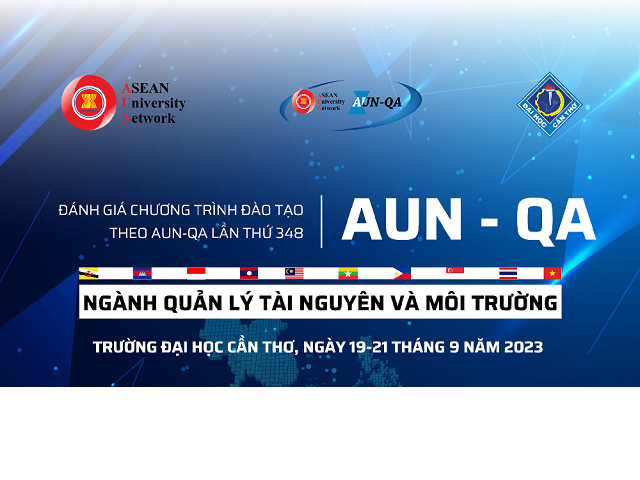
- The 42nd Asian Conference on Remote Sensing
- Conference on “Industry 4.0 in Agriculture and Land Resources Exploitation Management”
- International Conference IFGTM 2021
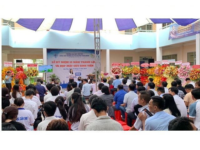
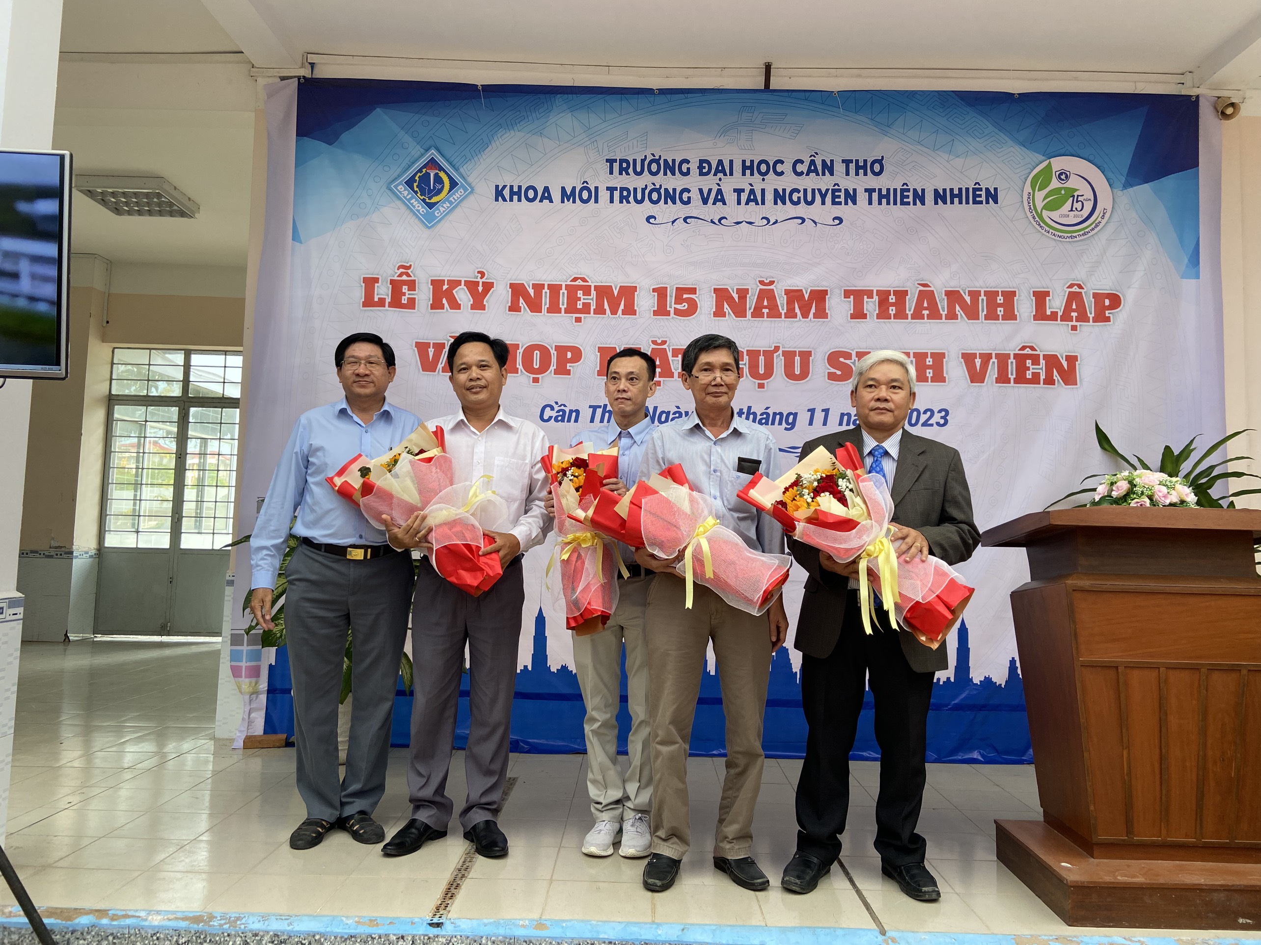
- The 5th scientific conference “Environment, Natural Resources and Climate Change”
- The international conference “Multi-Disciplinary Approach in Environment Protection for Sustainable Development”
- Mr. Fujiwara Nobuyoshi and Dr. Minamikawa Kazunori from JIRCAS to visit CENRes from September 13th to 21st, 2018